Fall is the perfect time of year to take a hike!
The northern shore of Nova Scotia has so many incredible hiking trails to choose from. From beginner level to more advanced.
Here’s a list of our favourites (in no particular order):
Debert Mi’kmawey Interpretive Trail — Debert
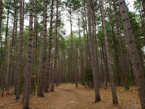
- Moderate terrain; steep banks, dirt path, clearly marked with a range of forest covering
- Just 10 minutes outside Truro
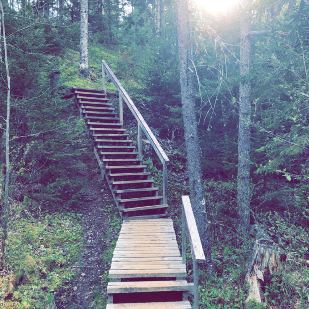
- It takes about 75 minutes to complete and there are stairs and bridges along the way.
- The trail is a 4.4km loop
- Opened in 2003 as part of the Mi’kmawey Debert Cultural Centre project, and is a part of the Cliffs of Fundy Geopark.
- There are various interpretive panels, featuring the artwork of Dozay Christmas, which share the story of these ancestral sites.
- This ‘Paleo-Indian’ site is one of the most significant indigenous archeological sites in North America, dating back to 11,000 years before the present.
- The site represents the earliest human settlement in eastern North America.
Cape Chignecto Coastal Trail — Advocate Harbour
- Moderate/Difficult
- Located in West Advocate (2.5 hours from Truro) at the Cape Chignecto Provincial Park
- Some sections of the trail are rather steep and can be challenging, with a considerable difference in elevation (500 feet), so hikers should be physically fit. There is usually cell phone coverage at high elevations.
- This looped trail is 53kms long, and takes, on average, three or four full days to hike. If you’re not in a rush, you can stretch it out even longer to really enjoy your natural surroundings. Or, if you’re simply looking for a day trip, you can always just do a few of the sections.
- A good majority of the trail is along the coast, with breathtaking views of the Bay of Fundy. Keep an eye out for any side trails that will lead you down to beaches or to rocky cliff look-offs. The trail can be hiked either clockwise or counter-clockwise and is accessed by the trailhead at Red Rocks Visitor Centre. You must check in with staff before and after your hike to ensure safe travels. There are campsites and rustic wilderness cabins along the trail for hikers to stay overnight. Keep in mind there’s no running water, so bring supplies to treat it before use.
Cobequid Trail — Truro/ Bible Hill
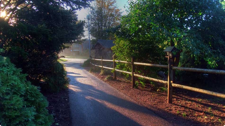
- Easy
- Offering 18km of walking and cycling trails through Truro and Bible Hill
- Great place for a long-distance run, a leisurely walk, or a smooth bike ride.
- The trail, divided into two sections, has various rest stops along the way, and public washrooms as well.
- The sections between Old Barns, Lower Truro, and Truro are part of the Trans Canada Trail and Blue Route, and travel along the former Dominion Atlantic Railway, which was built in 1898 and operated until 1982.
- You can view the Bay of Fundy and catch the tidal bore come in twice daily (see tide schedule here).
- There are multiple trailheads in either section, with many scenic viewing points in each.
- Easy-Extreme; various trails; open year-round
- Non-Member Fees: $5 for hiking/snowshoeing, $10 for biking/skiing
- Former ski hill that has been redesigned as an outdoor recreation facility
- Run by P.A.K. (Positive Action for Keppoch), a non-profit volunteer organization.
- With 40+ kms of multi-use trails, ranging in difficulty from “easy” to “extreme”, you’re sure to find a few to tackle no matter your skill and experience level! Most of their trails are available to hike, with many that can also be used to mountain bike, or to fat-bike, cross-country ski, or snowshoe during the winter months.
- There is a shuttle that runs on weekends to escort guests and their bikes up the mountain.
- They also have a dock at Camerons Lake for swimming, an 18-hole disc golf course, a boulder-climbing park, and they host many events throughout the year, including outdoor educational seminars, Family Fun Days, runs and races, and even an interactive theatre play each summer.
Gully Lake Wilderness Area — Kemptown
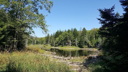
- Moderate; natural path, steep banks
- Located just north of Mt. Thom (30 minutes from Truro)
- Just off Highway 104, or just off the 311, at Kemptown Road in Kemptown.
- 25km of hiking trails through forests and marshlands, and around various lakes, brooks and rivers
- The Gully Lake Wilderness Area is a protected area covering a patch of Cobequid Mountain woodlands in north-central Nova Scotia.
- Part of the Cape to Cape trail system, between Cape George and Cape Chignecto.
- Two loops and various connecting trails, with forested hills that rise to more than 300 metres above sea level, the Gully Lake Wilderness Area is a great place for a day hike. With 25km of hiking trails through forests and marshlands, and around various lakes, brooks and rivers, there’s no shortage of options. The woodlands are abound with diverse trees — sugar maple, yellow birch, and red spruce, to name a few — and offers a quality home for the endangered mainland moose that inhabit the area.
Cape George Heritage Trails — Antigonish
- Easy-Difficult
- This 33km trail includes 7 looped trails ranging from 2-12km, and 5 point-to-point trails ranging from 7-21km
- Cape George peninsula, overlooking beautiful St. Georges Bay. With elevations up to 600 feet above sea level, the panoramic views are incredible. With trails through meadows and forests and along the coastline cliffs, there’s no shortage of scenic stops. Enjoy the sounds and beauty of nature on a peaceful stroll along the shoreline, have a picnic on the beach or by the lighthouse, or relax beside a natural “Bubbling Spring.”
Rogart Mountain Trail — Kemptown
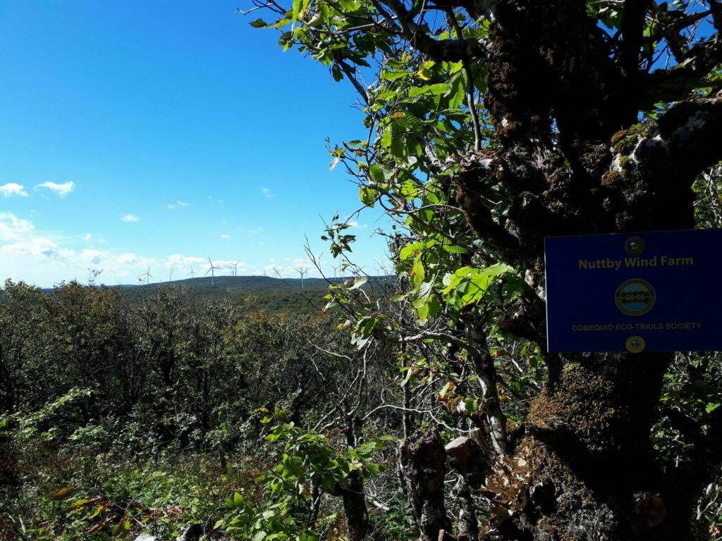
- Moderate; natural surface, some steep climbing
- 6.2km rugged soil footpath passing several brooks, old stone walls, various scenic look-offs, 17 interpretive sites, and Jane’s waterfalls
- Also part of the Cape to Cape trail system and the Gully Lake trail system.
- Rogart Mountain is accessed on the opposite side of the 311 in Kemptown. The trailhead is at Sugar Moon Farms, on Alex MacDonald Road. Finish your hike with a delicious maple-inspired brunch at the on-site log restaurant and pick up some real maple syrup at the shop to take home.
Brookfield Wetland and Nature Trail — Brookfield
- Easy, flat trail; dogs welcome; open year-round
- Conveniently located just off the highway at Exit 12 in Brookfield (15 minutes from Truro)
- 1.6km crushed gravel figure 8 loop
- The ponds and trail were built in 2009 as a partnership between Lafarge Canada Inc. and Ducks Unlimited Canada. It passes through a large wetland, following a path around two constructed ponds and a wooden walking bridge to connect them. It’s a great place for birdwatchers or photographers, as there’s such a variety of wildlife to view. There are various interpretive panels along the way to educate about the functions of wetlands and the species that inhabit them.
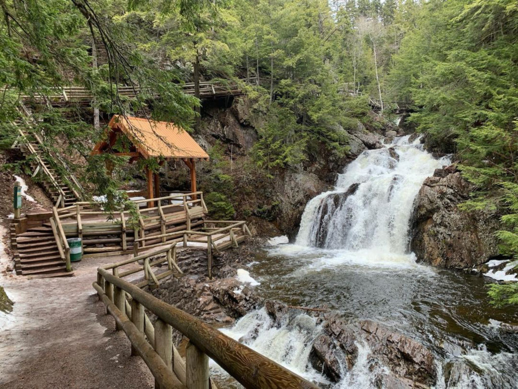
- Easy — Moderate
- Large loop; three main hiking trails — Hemlock, Vibert, and Reservoir — totalling over ten kilometres, not including the paths to get there
- The park can be accessed from various points, with the main entrance being at 29 Park Rd.
- Located centrally in Truro, this 3000 acre natural woodland park has an extensive trail system winding through tall trees, natural gorges, scenic look-offs, and cool, cascading waterfalls.
- The main trail through the park is well-groomed, and leads to various other hiking trails throughout the park, two waterfalls, and, arguably the park’s most famous feature, Jacob’s Ladder. If you’re up to the challenge, give it a go! It’s a steep set of 178 steps that leads directly up the gorge that’s sure to stretch your legs!
- The park is a large loop and most pathways will eventually lead you to a trailhead.
- Large loop; three main hiking trails — Hemlock, Vibert, and Reservoir — totalling over ten kilometres, not including the paths to get there.
Photo credit: alltrails.com | biblehill.ca | alltrails.com | alltrails.com | victoriaparktruro.ca
